National Weather Service Raw Text Product
Displaying AFOS PIL: PNSLMK Received: 2023-06-27 13:40 UTC
Previous in Time Latest Product Next in Time
View All KLMK Products for 27 Jun 2023 View All PNS Products for 27 Jun 2023 View As Image Download As Text
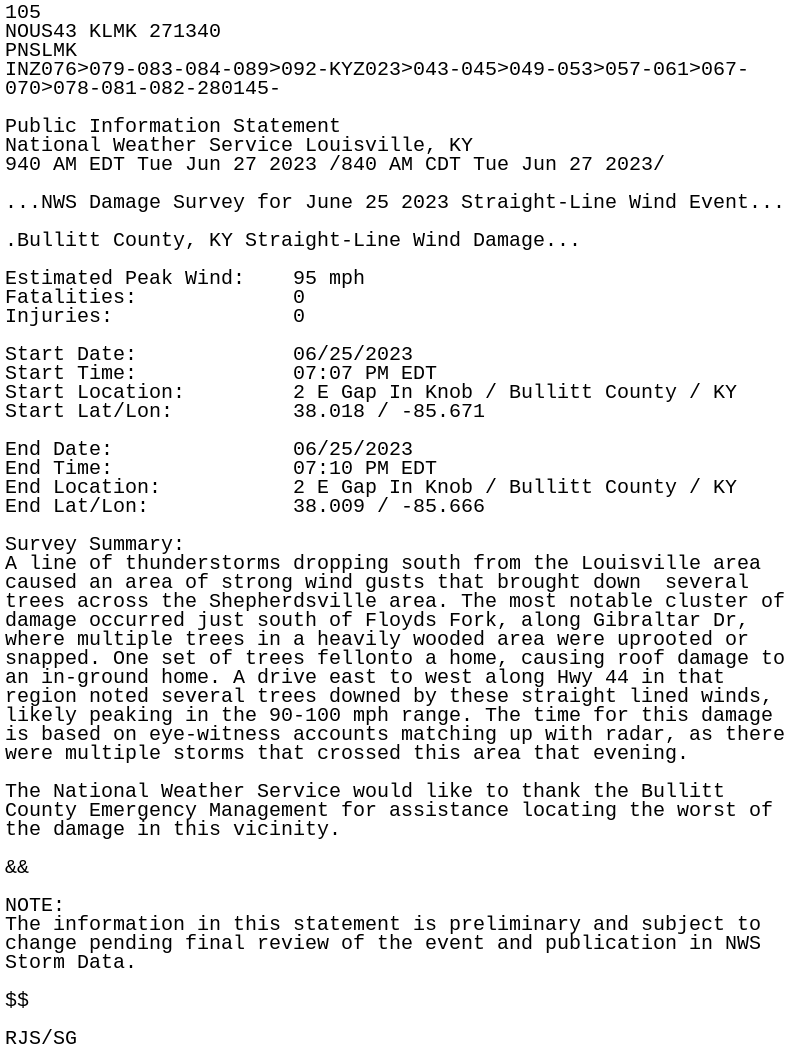
105
NOUS43 KLMK 271340
PNSLMK
INZ076>079-083-084-089>092-KYZ023>043-045>049-053>057-061>067-
070>078-081-082-280145-

Public Information Statement
National Weather Service Louisville, KY
940 AM EDT Tue Jun 27 2023 /840 AM CDT Tue Jun 27 2023/

...NWS Damage Survey for June 25 2023 Straight-Line Wind Event...

.Bullitt County, KY Straight-Line Wind Damage...

Estimated Peak Wind:    95 mph
Fatalities:             0
Injuries:               0

Start Date:             06/25/2023
Start Time:             07:07 PM EDT
Start Location:         2 E Gap In Knob / Bullitt County / KY
Start Lat/Lon:          38.018 / -85.671

End Date:               06/25/2023
End Time:               07:10 PM EDT
End Location:           2 E Gap In Knob / Bullitt County / KY
End Lat/Lon:            38.009 / -85.666

Survey Summary:
A line of thunderstorms dropping south from the Louisville area
caused an area of strong wind gusts that brought down  several
trees across the Shepherdsville area. The most notable cluster of
damage occurred just south of Floyds Fork, along Gibraltar Dr,
where multiple trees in a heavily wooded area were uprooted or
snapped. One set of trees fellonto a home, causing roof damage to
an in-ground home. A drive east to west along Hwy 44 in that
region noted several trees downed by these straight lined winds,
likely peaking in the 90-100 mph range. The time for this damage
is based on eye-witness accounts matching up with radar, as there
were multiple storms that crossed this area that evening.

The National Weather Service would like to thank the Bullitt
County Emergency Management for assistance locating the worst of
the damage in this vicinity.

&&

NOTE:
The information in this statement is preliminary and subject to
change pending final review of the event and publication in NWS
Storm Data.

$$

RJS/SG