National Weather Service Text Product
AFOS product LSRCYS
Dates interpreted at 00:00 UTCDisplaying AFOS PIL: LSRCYS
Product Timestamp: 2026-09-06 00:52 UTC
Bulk Download
Bulk Download Help
This bulk download tool provides the NWS text
in a raw form, hopefully directly usable by your processing system.
You can either provide a complete 6-character PIL/AFOS ID or provide
the 3-character base ID (e.g., AFD). The start and end
dates represent 00 UTC for those dates. The Zip format is useful as
the filenames will have the product timestamp, which is useful for
when the product format has ambiguous timestamps.
413
NWUS55 KCYS 060052
LSRCYS

Preliminary Local Storm Report
National Weather Service Cheyenne WY
652 PM MDT Sat Sep 5 2026

..TIME...   ...EVENT...      ...CITY LOCATION...     ...LAT.LON...
..DATE...   ....MAG....      ..COUNTY LOCATION..ST.. ...SOURCE....
            ..REMARKS..

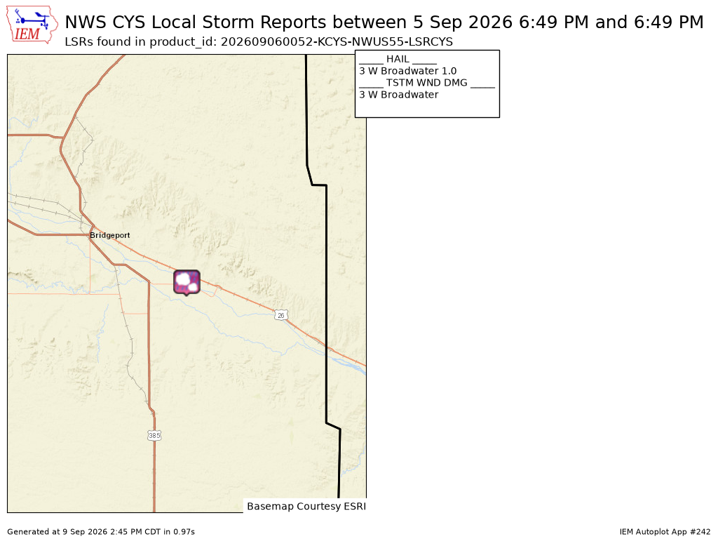
0649 PM     Tstm Wnd Dmg     3 W Broadwater          41.60N 102.91W
09/05/2026                   Morrill            NE   Trained Spotter

            Trained Spotter reported 6inch tree branches
            down along US Highway 26.

0649 PM     Hail             3 W Broadwater          41.60N 102.91W
09/05/2026  M1.00 Inch       Morrill            NE   Trained Spotter

            Trained Spotter reporting 1 inch hail with
            torential rainfall.


&&

$$