National Weather Service Raw Text Product
Displaying AFOS PIL: PNSDVN Received: 2023-04-11 16:47 UTC
Previous in Time Latest Product Next in Time
View All KDVN Products for 11 Apr 2023 View All PNS Products for 11 Apr 2023 View As Image Download As Text
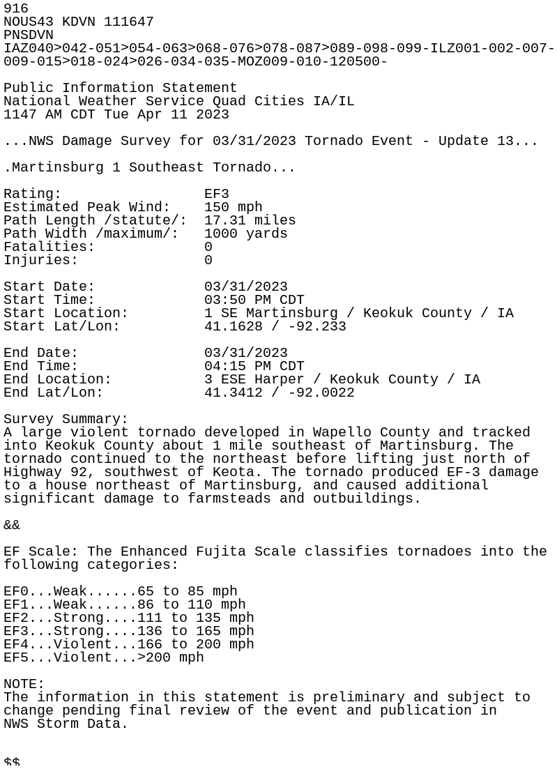
916
NOUS43 KDVN 111647
PNSDVN
IAZ040>042-051>054-063>068-076>078-087>089-098-099-ILZ001-002-007-
009-015>018-024>026-034-035-MOZ009-010-120500-

Public Information Statement
National Weather Service Quad Cities IA/IL
1147 AM CDT Tue Apr 11 2023

...NWS Damage Survey for 03/31/2023 Tornado Event - Update 13...

.Martinsburg 1 Southeast Tornado...

Rating:                 EF3
Estimated Peak Wind:    150 mph
Path Length /statute/:  17.31 miles
Path Width /maximum/:   1000 yards
Fatalities:             0
Injuries:               0

Start Date:             03/31/2023
Start Time:             03:50 PM CDT
Start Location:         1 SE Martinsburg / Keokuk County / IA
Start Lat/Lon:          41.1628 / -92.233

End Date:               03/31/2023
End Time:               04:15 PM CDT
End Location:           3 ESE Harper / Keokuk County / IA
End Lat/Lon:            41.3412 / -92.0022

Survey Summary:
A large violent tornado developed in Wapello County and tracked
into Keokuk County about 1 mile southeast of Martinsburg. The
tornado continued to the northeast before lifting just north of
Highway 92, southwest of Keota. The tornado produced EF-3 damage
to a house northeast of Martinsburg, and caused additional
significant damage to farmsteads and outbuildings.

&&

EF Scale: The Enhanced Fujita Scale classifies tornadoes into the
following categories:

EF0...Weak......65 to 85 mph
EF1...Weak......86 to 110 mph
EF2...Strong....111 to 135 mph
EF3...Strong....136 to 165 mph
EF4...Violent...166 to 200 mph
EF5...Violent...>200 mph

NOTE:
The information in this statement is preliminary and subject to
change pending final review of the event and publication in
NWS Storm Data.


$$