National Weather Service Raw Text Product
Displaying AFOS PIL: PNSILN Product Timestamp: 2022-07-07 18:06 UTC
Previous in Time Latest Product Next in Time
View All KILN Products for 07 Jul 2022 View All PNS Products for 07 Jul 2022 View As Image Download As Text
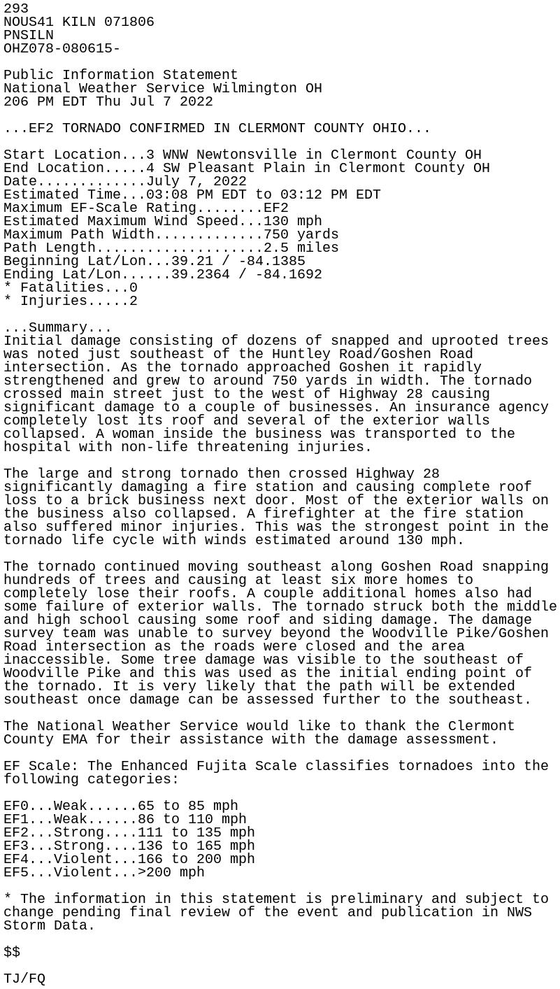
293
NOUS41 KILN 071806
PNSILN
OHZ078-080615-

Public Information Statement
National Weather Service Wilmington OH
206 PM EDT Thu Jul 7 2022

...EF2 TORNADO CONFIRMED IN CLERMONT COUNTY OHIO...

Start Location...3 WNW Newtonsville in Clermont County OH
End Location.....4 SW Pleasant Plain in Clermont County OH
Date.............July 7, 2022
Estimated Time...03:08 PM EDT to 03:12 PM EDT
Maximum EF-Scale Rating........EF2
Estimated Maximum Wind Speed...130 mph
Maximum Path Width.............750 yards
Path Length....................2.5 miles
Beginning Lat/Lon...39.21 / -84.1385
Ending Lat/Lon......39.2364 / -84.1692
* Fatalities...0
* Injuries.....2

...Summary...
Initial damage consisting of dozens of snapped and uprooted trees
was noted just southeast of the Huntley Road/Goshen Road
intersection. As the tornado approached Goshen it rapidly
strengthened and grew to around 750 yards in width. The tornado
crossed main street just to the west of Highway 28 causing
significant damage to a couple of businesses. An insurance agency
completely lost its roof and several of the exterior walls
collapsed. A woman inside the business was transported to the
hospital with non-life threatening injuries.

The large and strong tornado then crossed Highway 28
significantly damaging a fire station and causing complete roof
loss to a brick business next door. Most of the exterior walls on
the business also collapsed. A firefighter at the fire station
also suffered minor injuries. This was the strongest point in the
tornado life cycle with winds estimated around 130 mph.

The tornado continued moving southeast along Goshen Road snapping
hundreds of trees and causing at least six more homes to
completely lose their roofs. A couple additional homes also had
some failure of exterior walls. The tornado struck both the middle
and high school causing some roof and siding damage. The damage
survey team was unable to survey beyond the Woodville Pike/Goshen
Road intersection as the roads were closed and the area
inaccessible. Some tree damage was visible to the southeast of
Woodville Pike and this was used as the initial ending point of
the tornado. It is very likely that the path will be extended
southeast once damage can be assessed further to the southeast.

The National Weather Service would like to thank the Clermont
County EMA for their assistance with the damage assessment.

EF Scale: The Enhanced Fujita Scale classifies tornadoes into the
following categories:

EF0...Weak......65 to 85 mph
EF1...Weak......86 to 110 mph
EF2...Strong....111 to 135 mph
EF3...Strong....136 to 165 mph
EF4...Violent...166 to 200 mph
EF5...Violent...>200 mph

* The information in this statement is preliminary and subject to
change pending final review of the event and publication in NWS
Storm Data.

$$

TJ/FQ