National Weather Service Raw Text Product
Displaying AFOS PIL: PNSGSP Product Timestamp: 2020-02-08 20:55 UTC
Previous in Time Latest Product Next in Time
View All KGSP Products for 08 Feb 2020 View All PNS Products for 08 Feb 2020 View As Image Download As Text
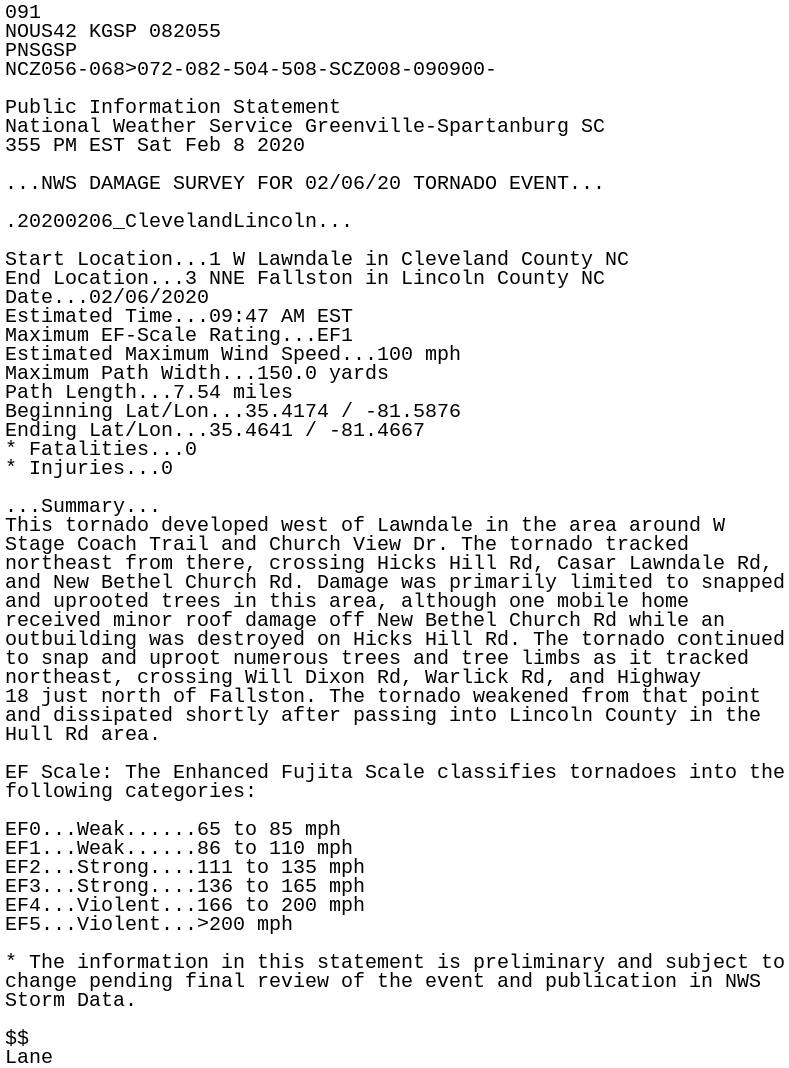
091
NOUS42 KGSP 082055
PNSGSP
NCZ056-068>072-082-504-508-SCZ008-090900-

Public Information Statement
National Weather Service Greenville-Spartanburg SC
355 PM EST Sat Feb 8 2020

...NWS DAMAGE SURVEY FOR 02/06/20 TORNADO EVENT...

.20200206_ClevelandLincoln...

Start Location...1 W Lawndale in Cleveland County NC
End Location...3 NNE Fallston in Lincoln County NC
Date...02/06/2020
Estimated Time...09:47 AM EST
Maximum EF-Scale Rating...EF1
Estimated Maximum Wind Speed...100 mph
Maximum Path Width...150.0 yards
Path Length...7.54 miles
Beginning Lat/Lon...35.4174 / -81.5876
Ending Lat/Lon...35.4641 / -81.4667
* Fatalities...0
* Injuries...0

...Summary...
This tornado developed west of Lawndale in the area around W
Stage Coach Trail and Church View Dr. The tornado tracked
northeast from there, crossing Hicks Hill Rd, Casar Lawndale Rd,
and New Bethel Church Rd. Damage was primarily limited to snapped
and uprooted trees in this area, although one mobile home
received minor roof damage off New Bethel Church Rd while an
outbuilding was destroyed on Hicks Hill Rd. The tornado continued
to snap and uproot numerous trees and tree limbs as it tracked
northeast, crossing Will Dixon Rd, Warlick Rd, and Highway
18 just north of Fallston. The tornado weakened from that point
and dissipated shortly after passing into Lincoln County in the
Hull Rd area.

EF Scale: The Enhanced Fujita Scale classifies tornadoes into the
following categories:

EF0...Weak......65 to 85 mph
EF1...Weak......86 to 110 mph
EF2...Strong....111 to 135 mph
EF3...Strong....136 to 165 mph
EF4...Violent...166 to 200 mph
EF5...Violent...>200 mph

* The information in this statement is preliminary and subject to
change pending final review of the event and publication in NWS
Storm Data.

$$
Lane