National Weather Service Raw Text Product
Displaying AFOS PIL: PNSGSP Product Timestamp: 2020-02-08 00:08 UTC
Previous in Time Latest Product Next in Time
View All KGSP Products for 08 Feb 2020 View All PNS Products for 08 Feb 2020 View As Image Download As Text
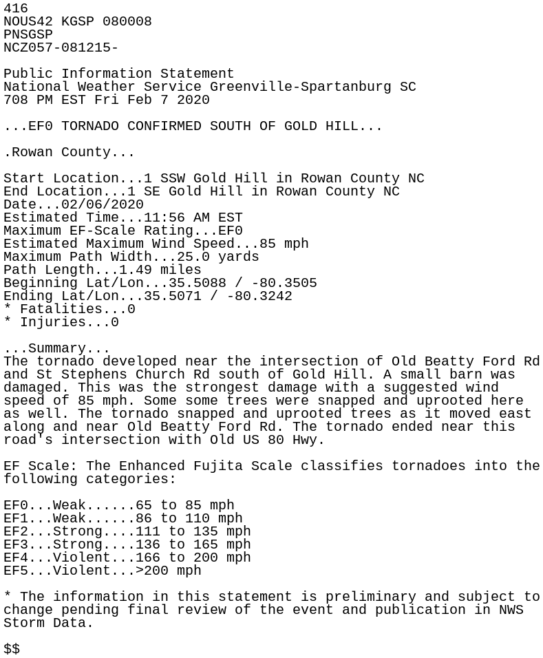
416
NOUS42 KGSP 080008
PNSGSP
NCZ057-081215-

Public Information Statement
National Weather Service Greenville-Spartanburg SC
708 PM EST Fri Feb 7 2020

...EF0 TORNADO CONFIRMED SOUTH OF GOLD HILL...

.Rowan County...

Start Location...1 SSW Gold Hill in Rowan County NC
End Location...1 SE Gold Hill in Rowan County NC
Date...02/06/2020
Estimated Time...11:56 AM EST
Maximum EF-Scale Rating...EF0
Estimated Maximum Wind Speed...85 mph
Maximum Path Width...25.0 yards
Path Length...1.49 miles
Beginning Lat/Lon...35.5088 / -80.3505
Ending Lat/Lon...35.5071 / -80.3242
* Fatalities...0
* Injuries...0

...Summary...
The tornado developed near the intersection of Old Beatty Ford Rd
and St Stephens Church Rd south of Gold Hill. A small barn was
damaged. This was the strongest damage with a suggested wind
speed of 85 mph. Some some trees were snapped and uprooted here
as well. The tornado snapped and uprooted trees as it moved east
along and near Old Beatty Ford Rd. The tornado ended near this
road's intersection with Old US 80 Hwy.

EF Scale: The Enhanced Fujita Scale classifies tornadoes into the
following categories:

EF0...Weak......65 to 85 mph
EF1...Weak......86 to 110 mph
EF2...Strong....111 to 135 mph
EF3...Strong....136 to 165 mph
EF4...Violent...166 to 200 mph
EF5...Violent...>200 mph

* The information in this statement is preliminary and subject to
change pending final review of the event and publication in NWS
Storm Data.

$$