National Weather Service Raw Text Product
Displaying AFOS PIL: PNSMOB Product Timestamp: 2017-06-23 22:24 UTC
Previous in Time Latest Product Next in Time
View All KMOB Products for 23 Jun 2017 View All PNS Products for 23 Jun 2017 View As Image Download As Text
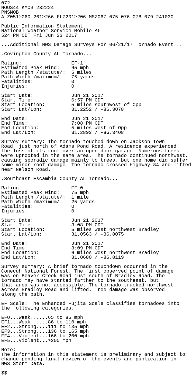
072
NOUS44 KMOB 232224
PNSMOB
ALZ051>060-261>266-FLZ201>206-MSZ067-075-076-078-079-241030-

Public Information Statement
National Weather Service Mobile AL
524 PM CDT Fri Jun 23 2017

...Additional NWS Damage Surveys For 06/21/17 Tornado Event...

.Covington County AL Tornado...

Rating:                 EF-1
Estimated Peak Wind:    95 mph
Path Length /statute/:  5 miles
Path Width /maximum/:   75 yards
Fatalities:             0
Injuries:               0

Start Date:             Jun 21 2017
Start Time:             6:57 PM CDT
Start Location:         5 miles southwest of Opp
Start Lat/Lon:          31.2252 / -86.3078

End Date:               Jun 21 2017
End Time:               7:08 PM CDT
End Location:           5 miles west of Opp
End Lat/Lon:            31.2893 / -86.3408

Survey summary: The tornado touched down on Jackson Town
Road, just north of Adams Pond Road. A residence experienced
the loss of its roof over an open door garage. Numerous trees
were uprooted in the same area. The tornado continued northwest,
causing sporadic damage mainly to trees, but one home did suffer
some minor roof damage. The tornado crossed Highway 84 and lifted
near Nelson Road.

.Southeast Escambia County AL Tornado...

Rating:                 EF-0
Estimated Peak Wind:    75 mph
Path Length /statute/:  1 mile
Path Width /maximum/:   25 yards
Fatalities:             0
Injuries:               0

Start Date:             Jun 21 2017
Start Time:             3:08 PM CDT
Start Location:         5 miles west northwest Bradley
Start Lat/Lon:          31.0563 / -86.8075

End Date:               Jun 21 2017
End Time:               3:09 PM CDT
End Location:           6 miles west northwest Bradley
End Lat/Lon:            31.0680 / -86.8119

Survey summary: A brief tornado touchdown occurred in the
Conecuh National Forest. The first observed point of damage
was on Beaver Creek Road just south of Bradley Road. The
tornado may have started farther to the southeast, but
that area was not accessible. The tornado tracked northwest
across Bradley Road and lifted. Tree damage was observed
along the path.

EF Scale: The Enhanced Fujita Scale classifies tornadoes into
the following categories.

EF0...Weak......65 to 85 mph
EF1...Weak......86 to 110 mph
EF2...Strong....111 to 135 mph
EF3...Strong....136 to 165 mph
EF4...Violent...166 to 200 mph
EF5...Violent...>200 mph

Note:
The information in this statement is preliminary and subject to
change pending final review of the events and publication in
NWS Storm Data.

$$