National Weather Service Raw Text Product
Displaying AFOS PIL: PNSLCH Product Timestamp: 2021-04-09 04:35 UTC
Previous in Time Latest Product Next in Time
View All KLCH Products for 09 Apr 2021 View All PNS Products for 09 Apr 2021 View As Image Download As Text
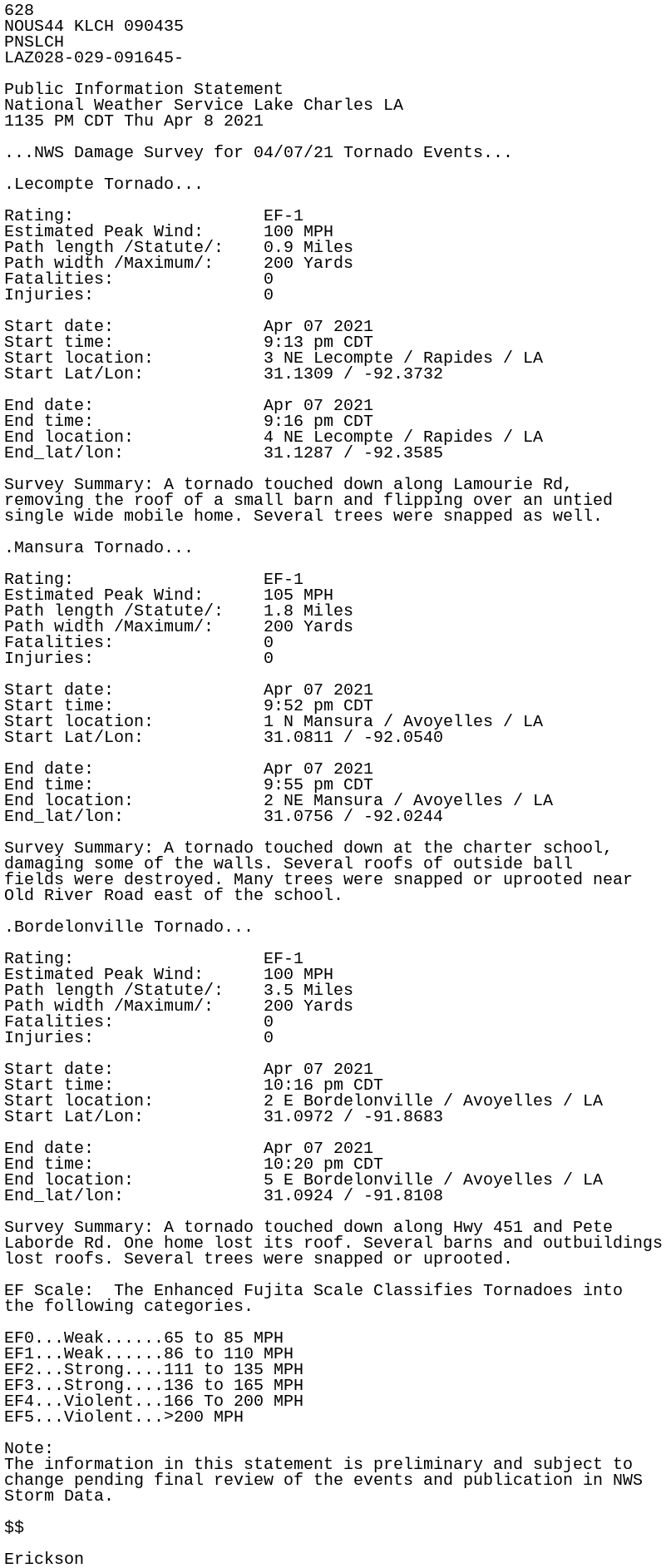
628
NOUS44 KLCH 090435
PNSLCH
LAZ028-029-091645-

Public Information Statement
National Weather Service Lake Charles LA
1135 PM CDT Thu Apr 8 2021

...NWS Damage Survey for 04/07/21 Tornado Events...

.Lecompte Tornado...

Rating:                   EF-1
Estimated Peak Wind:      100 MPH
Path length /Statute/:    0.9 Miles
Path width /Maximum/:     200 Yards
Fatalities:               0
Injuries:                 0

Start date:               Apr 07 2021
Start time:               9:13 pm CDT
Start location:           3 NE Lecompte / Rapides / LA
Start Lat/Lon:            31.1309 / -92.3732

End date:                 Apr 07 2021
End time:                 9:16 pm CDT
End location:             4 NE Lecompte / Rapides / LA
End_lat/lon:              31.1287 / -92.3585

Survey Summary: A tornado touched down along Lamourie Rd,
removing the roof of a small barn and flipping over an untied
single wide mobile home. Several trees were snapped as well.

.Mansura Tornado...

Rating:                   EF-1
Estimated Peak Wind:      105 MPH
Path length /Statute/:    1.8 Miles
Path width /Maximum/:     200 Yards
Fatalities:               0
Injuries:                 0

Start date:               Apr 07 2021
Start time:               9:52 pm CDT
Start location:           1 N Mansura / Avoyelles / LA
Start Lat/Lon:            31.0811 / -92.0540

End date:                 Apr 07 2021
End time:                 9:55 pm CDT
End location:             2 NE Mansura / Avoyelles / LA
End_lat/lon:              31.0756 / -92.0244

Survey Summary: A tornado touched down at the charter school,
damaging some of the walls. Several roofs of outside ball
fields were destroyed. Many trees were snapped or uprooted near
Old River Road east of the school.

.Bordelonville Tornado...

Rating:                   EF-1
Estimated Peak Wind:      100 MPH
Path length /Statute/:    3.5 Miles
Path width /Maximum/:     200 Yards
Fatalities:               0
Injuries:                 0

Start date:               Apr 07 2021
Start time:               10:16 pm CDT
Start location:           2 E Bordelonville / Avoyelles / LA
Start Lat/Lon:            31.0972 / -91.8683

End date:                 Apr 07 2021
End time:                 10:20 pm CDT
End location:             5 E Bordelonville / Avoyelles / LA
End_lat/lon:              31.0924 / -91.8108

Survey Summary: A tornado touched down along Hwy 451 and Pete
Laborde Rd. One home lost its roof. Several barns and outbuildings
lost roofs. Several trees were snapped or uprooted.

EF Scale:  The Enhanced Fujita Scale Classifies Tornadoes into
the following categories.

EF0...Weak......65 to 85 MPH
EF1...Weak......86 to 110 MPH
EF2...Strong....111 to 135 MPH
EF3...Strong....136 to 165 MPH
EF4...Violent...166 To 200 MPH
EF5...Violent...>200 MPH

Note:
The information in this statement is preliminary and subject to
change pending final review of the events and publication in NWS
Storm Data.

$$

Erickson