National Weather Service Raw Text Product
Displaying AFOS PIL: PNSLIX Product Timestamp: 2020-04-20 23:34 UTC
Previous in Time Latest Product Next in Time
View All KLIX Products for 20 Apr 2020 View All PNS Products for 20 Apr 2020 View As Image Download As Text
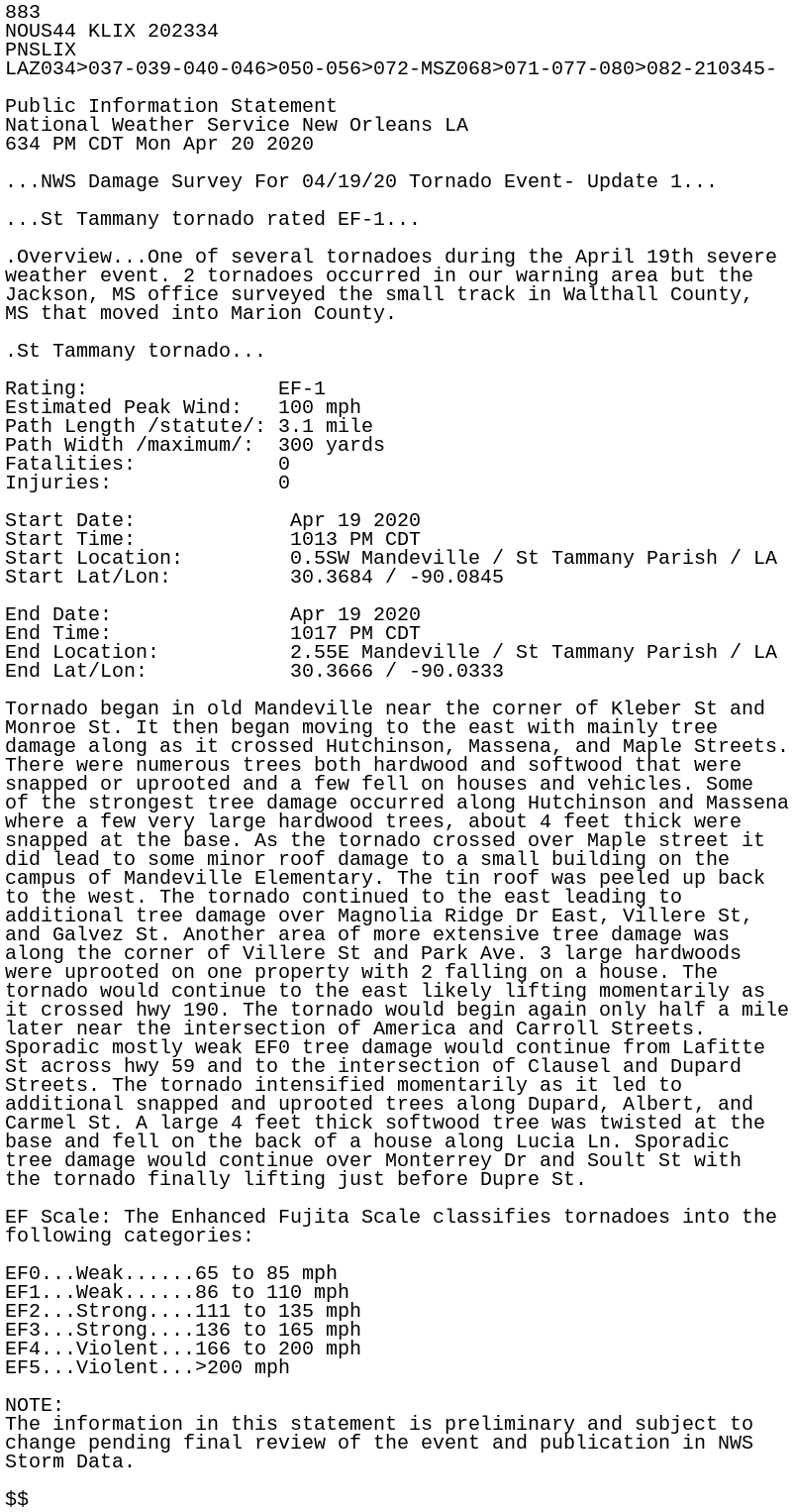
883
NOUS44 KLIX 202334
PNSLIX
LAZ034>037-039-040-046>050-056>072-MSZ068>071-077-080>082-210345-

Public Information Statement
National Weather Service New Orleans LA
634 PM CDT Mon Apr 20 2020

...NWS Damage Survey For 04/19/20 Tornado Event- Update 1...

...St Tammany tornado rated EF-1...

.Overview...One of several tornadoes during the April 19th severe
weather event. 2 tornadoes occurred in our warning area but the
Jackson, MS office surveyed the small track in Walthall County,
MS that moved into Marion County.

.St Tammany tornado...

Rating:                EF-1
Estimated Peak Wind:   100 mph
Path Length /statute/: 3.1 mile
Path Width /maximum/:  300 yards
Fatalities:            0
Injuries:              0

Start Date:             Apr 19 2020
Start Time:             1013 PM CDT
Start Location:         0.5SW Mandeville / St Tammany Parish / LA
Start Lat/Lon:          30.3684 / -90.0845

End Date:               Apr 19 2020
End Time:               1017 PM CDT
End Location:           2.55E Mandeville / St Tammany Parish / LA
End Lat/Lon:            30.3666 / -90.0333

Tornado began in old Mandeville near the corner of Kleber St and
Monroe St. It then began moving to the east with mainly tree
damage along as it crossed Hutchinson, Massena, and Maple Streets.
There were numerous trees both hardwood and softwood that were
snapped or uprooted and a few fell on houses and vehicles. Some
of the strongest tree damage occurred along Hutchinson and Massena
where a few very large hardwood trees, about 4 feet thick were
snapped at the base. As the tornado crossed over Maple street it
did lead to some minor roof damage to a small building on the
campus of Mandeville Elementary. The tin roof was peeled up back
to the west. The tornado continued to the east leading to
additional tree damage over Magnolia Ridge Dr East, Villere St,
and Galvez St. Another area of more extensive tree damage was
along the corner of Villere St and Park Ave. 3 large hardwoods
were uprooted on one property with 2 falling on a house. The
tornado would continue to the east likely lifting momentarily as
it crossed hwy 190. The tornado would begin again only half a mile
later near the intersection of America and Carroll Streets.
Sporadic mostly weak EF0 tree damage would continue from Lafitte
St across hwy 59 and to the intersection of Clausel and Dupard
Streets. The tornado intensified momentarily as it led to
additional snapped and uprooted trees along Dupard, Albert, and
Carmel St. A large 4 feet thick softwood tree was twisted at the
base and fell on the back of a house along Lucia Ln. Sporadic
tree damage would continue over Monterrey Dr and Soult St with
the tornado finally lifting just before Dupre St.

EF Scale: The Enhanced Fujita Scale classifies tornadoes into the
following categories:

EF0...Weak......65 to 85 mph
EF1...Weak......86 to 110 mph
EF2...Strong....111 to 135 mph
EF3...Strong....136 to 165 mph
EF4...Violent...166 to 200 mph
EF5...Violent...>200 mph

NOTE:
The information in this statement is preliminary and subject to
change pending final review of the event and publication in NWS
Storm Data.

$$