National Weather Service Raw Text Product
Displaying AFOS PIL: PNSARX Product Timestamp: 2020-07-22 02:47 UTC
Previous in Time Latest Product Next in Time
View All KARX Products for 22 Jul 2020 View All PNS Products for 22 Jul 2020 View As Image Download As Text
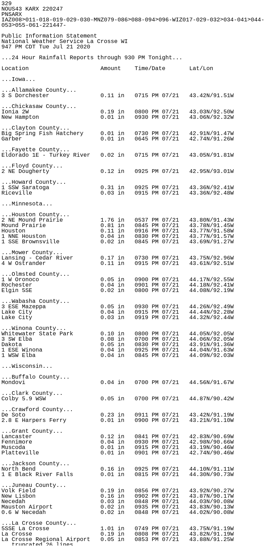
329
NOUS43 KARX 220247
PNSARX
IAZ008>011-018-019-029-030-MNZ079-086>088-094>096-WIZ017-029-032>034-041>044-
053>055-061-221447-

Public Information Statement
National Weather Service La Crosse WI
947 PM CDT Tue Jul 21 2020

...24 Hour Rainfall Reports through 930 PM Tonight...

Location                     Amount    Time/Date       Lat/Lon

...Iowa...

...Allamakee County...
3 S Dorchester               0.11 in   0715 PM 07/21   43.42N/91.51W

...Chickasaw County...
Ionia 2W                     0.19 in   0800 PM 07/21   43.03N/92.50W
New Hampton                  0.01 in   0930 PM 07/21   43.06N/92.32W

...Clayton County...
Big Spring Fish Hatchery     0.01 in   0730 PM 07/21   42.91N/91.47W
Garber                       0.01 in   0645 PM 07/21   42.74N/91.26W

...Fayette County...
Eldorado 1E - Turkey River   0.02 in   0715 PM 07/21   43.05N/91.81W

...Floyd County...
2 NE Dougherty               0.12 in   0925 PM 07/21   42.95N/93.01W

...Howard County...
1 SSW Saratoga               0.31 in   0925 PM 07/21   43.36N/92.41W
Riceville                    0.03 in   0915 PM 07/21   43.36N/92.48W

...Minnesota...

...Houston County...
2 NE Mound Prairie           1.76 in   0537 PM 07/21   43.80N/91.43W
Mound Prairie                0.81 in   0845 PM 07/21   43.78N/91.45W
Houston                      0.11 in   0916 PM 07/21   43.77N/91.58W
1 NNE Houston                0.04 in   0830 PM 07/21   43.77N/91.57W
1 SSE Brownsville            0.02 in   0845 PM 07/21   43.69N/91.27W

...Mower County...
Lansing - Cedar River        0.17 in   0730 PM 07/21   43.75N/92.96W
4 W Ostrander                0.11 in   0915 PM 07/21   43.61N/92.51W

...Olmsted County...
1 W Oronoco                  0.05 in   0900 PM 07/21   44.17N/92.55W
Rochester                    0.04 in   0901 PM 07/21   44.18N/92.41W
Elgin 5SE                    0.02 in   0800 PM 07/21   44.08N/92.19W

...Wabasha County...
3 ESE Mazeppa                0.05 in   0930 PM 07/21   44.26N/92.49W
Lake City                    0.04 in   0915 PM 07/21   44.44N/92.28W
Lake City                    0.03 in   0919 PM 07/21   44.32N/92.44W

...Winona County...
Whitewater State Park        0.10 in   0800 PM 07/21   44.05N/92.05W
3 SW Elba                    0.08 in   0700 PM 07/21   44.06N/92.05W
Dakota                       0.05 in   0830 PM 07/21   43.91N/91.36W
1 ESE Winona                 0.04 in   0925 PM 07/21   44.04N/91.63W
1 WSW Elba                   0.04 in   0845 PM 07/21   44.09N/92.03W

...Wisconsin...

...Buffalo County...
Mondovi                      0.04 in   0700 PM 07/21   44.56N/91.67W

...Clark County...
Colby 5.9 WSW                0.05 in   0700 PM 07/21   44.87N/90.42W

...Crawford County...
De Soto                      0.23 in   0911 PM 07/21   43.42N/91.19W
2.8 E Harpers Ferry          0.01 in   0900 PM 07/21   43.21N/91.10W

...Grant County...
Lancaster                    0.12 in   0841 PM 07/21   42.83N/90.69W
Fennimore                    0.04 in   0930 PM 07/21   42.98N/90.66W
Muscoda                      0.01 in   0915 PM 07/21   43.19N/90.46W
Platteville                  0.01 in   0901 PM 07/21   42.74N/90.46W

...Jackson County...
North Bend                   0.16 in   0925 PM 07/21   44.10N/91.11W
1 E Black River Falls        0.01 in   0815 PM 07/21   44.30N/90.73W

...Juneau County...
Volk Field                   0.19 in   0856 PM 07/21   43.92N/90.27W
New Lisbon                   0.16 in   0902 PM 07/21   43.87N/90.17W
Necedah                      0.03 in   0848 PM 07/21   44.03N/90.08W
Mauston Airport              0.02 in   0935 PM 07/21   43.83N/90.13W
0.6 W Necedah                0.02 in   0848 PM 07/21   44.02N/90.08W

...La Crosse County...
5SSE La Crosse               1.01 in   0749 PM 07/21   43.75N/91.19W
La Crosse                    0.19 in   0808 PM 07/21   43.82N/91.19W
La Crosse Regional Airport   0.05 in   0853 PM 07/21   43.88N/91.25W
La Crosse                    0.01 in   0531 PM 07/21   43.77N/91.22W

...Monroe County...
2 E Cataract                 0.02 in   0928 PM 07/21   44.09N/90.79W

...Taylor County...
Medford                      0.47 in   0901 PM 07/21   45.30N/90.30W
3 NE Lublin                  0.25 in   0914 PM 07/21   45.11N/90.69W
Medford Airport              0.25 in   0935 PM 07/21   45.10N/90.30W

...Trempealeau County...
Trempealeau                  0.85 in   0914 PM 07/21   44.07N/91.51W

...Vernon County...
Stoddard 5NNE                1.42 in   0630 PM 07/21   43.72N/91.16W
Viroqua Municipal Airport    0.95 in   0935 PM 07/21   43.58N/90.90W
La Farge                     0.72 in   0915 PM 07/21   43.60N/90.63W

Observations are collected from a variety of sources with varying
equipment and exposures. We thank all volunteer weather observers
for their dedication. Not all data listed are considered official.

$$

Boyne