National Weather Service Raw Text Product
Displaying AFOS PIL: SPSBUF Product Timestamp: 2019-02-24 21:34 UTC
Previous in Time Latest Product Next in Time
View All KBUF Products for 24 Feb 2019 View All SPS Products for 24 Feb 2019 View As Image Download As Text
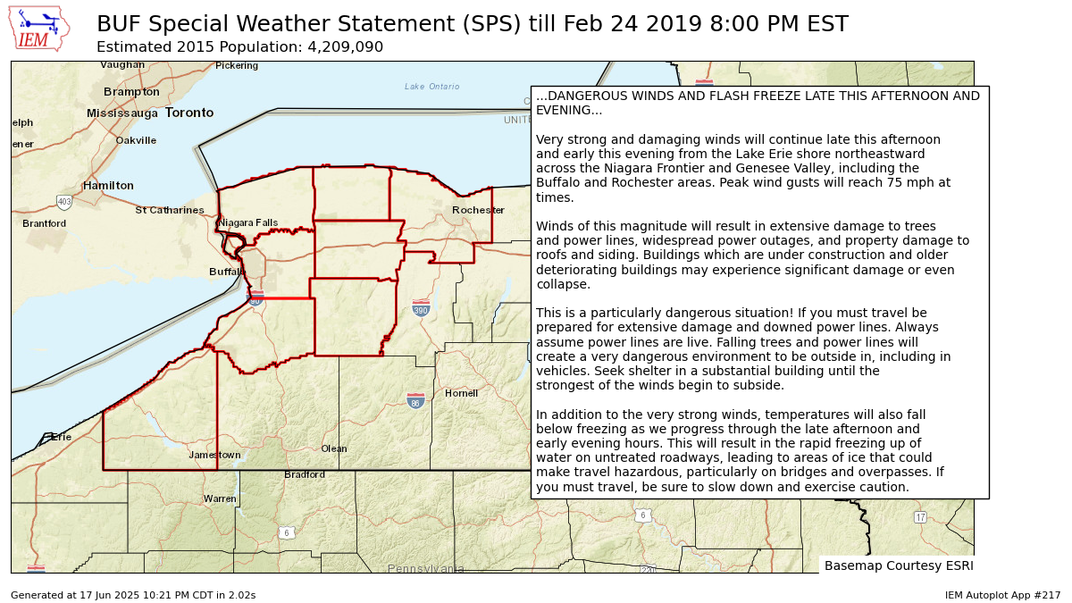
909
WWUS81 KBUF 242134
SPSBUF

Special Weather Statement
National Weather Service Buffalo NY
434 PM EST Sun Feb 24 2019

NYZ001>003-010>012-019-085-250100-
Niagara-Orleans-Monroe-Northern Erie-Genesee-Wyoming-Chautauqua-
Southern Erie-
Including the cities of Niagara Falls, Medina, Rochester,
Buffalo, Batavia, Warsaw, Jamestown, Orchard Park,
and Springville
434 PM EST Sun Feb 24 2019

...DANGEROUS WINDS AND FLASH FREEZE LATE THIS AFTERNOON AND
EVENING...

Very strong and damaging winds will continue late this afternoon
and early this evening from the Lake Erie shore northeastward
across the Niagara Frontier and Genesee Valley, including the
Buffalo and Rochester areas. Peak wind gusts will reach 75 mph at
times.

Winds of this magnitude will result in extensive damage to trees
and power lines, widespread power outages, and property damage to
roofs and siding. Buildings which are under construction and older
deteriorating buildings may experience significant damage or even
collapse.

This is a particularly dangerous situation! If you must travel be
prepared for extensive damage and downed power lines. Always
assume power lines are live. Falling trees and power lines will
create a very dangerous environment to be outside in, including in
vehicles. Seek shelter in a substantial building until the
strongest of the winds begin to subside.

In addition to the very strong winds, temperatures will also fall
below freezing as we progress through the late afternoon and
early evening hours. This will result in the rapid freezing up of
water on untreated roadways, leading to areas of ice that could
make travel hazardous, particularly on bridges and overpasses. If
you must travel, be sure to slow down and exercise caution.

$$

Hitchcock/JJR
Autoplot 217 generated the following image below. You may find more customization options , like removal of RADAR, for this image by visiting that autoplot.
