Automated Data Plotter
This application dynamically generates many types of graphs derived from various IEM data sources. Feel free to use these generated graphics in whatever way you wish.
1 Select a Chart Type
2 Configure Chart Options
Plot Description:
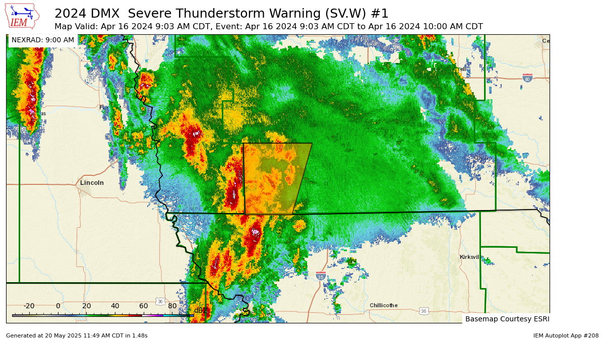
This application generates a map showing the coverage of a given VTEC alert. The tricky part here is how time is handled for events whereby zones/counties can be added / removed from the alert. If you specific an exact time, you should get the proper extent of the alert at that time. If you do not specify the time, you should get the total inclusion of any zones/counties that were added to the alert.This plot can be run in three special modes, those are:
- Single Event: Plots for a given WFO and event id.
- Same Phen/Sig over multiple WFOs: The given single event is expanded in space to cover any coincident events for the given single event.
- Same Phen/Sig over multiple WFOs: In this case, the event id is used to expand the plot. This makes most sense for SVR + TOR watches along with Tropical Alerts as the same event id is used over multiple WFOs.
3 Generated Chart
Based on recent timings, plot generation averages 3 seconds. Please wait while your chart is being generated...

If you notice plotting issues with the image above, please
contact us
and provide the URL address currently shown by your web browser.
IEM Daily Features using this plot
The IEM Daily Features found on this website often utilize plots found on this application. Here is a listing of features referencing this plot type.
- 23 Oct 2025: Freeze Warning
- 10 Oct 2023: All Except Lee County
- 14 Apr 2023: Iowa Red Flag Warning
- 05 Dec 2022: Winter Weather Advisory
- 15 Jan 2021: Blizzard Warning