National Weather Service Text Product
AFOS product AFDMPX
Dates interpreted at 00:00 UTCDisplaying AFOS PIL: AFDMPX
Product Timestamp: 2026-09-15 07:37 UTC
Bulk Download
Bulk Download Help
This bulk download tool provides the NWS text
in a raw form, hopefully directly usable by your processing system.
You can either provide a complete 6-character PIL/AFOS ID or provide
the 3-character base ID (e.g., AFD). The start and end
dates represent 00 UTC for those dates. The Zip format is useful as
the filenames will have the product timestamp, which is useful for
when the product format has ambiguous timestamps.
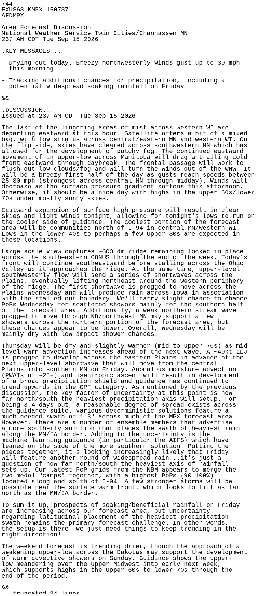
744
FXUS63 KMPX 150737
AFDMPX

Area Forecast Discussion
National Weather Service Twin Cities/Chanhassen MN
237 AM CDT Tue Sep 15 2026

.KEY MESSAGES...

- Drying out today. Breezy northwesterly winds gust up to 30 mph
  this morning.

- Tracking additional chances for precipitation, including a
  potential widespread soaking rainfall on Friday.

&&

.DISCUSSION...
Issued at 237 AM CDT Tue Sep 15 2026

The last of the lingering areas of mist across western WI are
departing eastward at this hour. Satellite offers a bit of a mixed
bag, with low stratus across central/eastern MN and western WI. On
the flip side, skies have cleared across southwestern MN which has
allowed for the development of patchy fog. The continued eastward
movement of an upper-low across Manitoba will drag a trailing cold
front eastward through daybreak. The frontal passage will work to
flush out low clouds/fog and will turn the winds out of the WNW. It
will be a breezy first half of the day as gusts reach speeds between
25-30 mph (strongest across central MN through midday). Winds will
decrease as the surface pressure gradient softens this afternoon.
Otherwise, it should be a nice day with highs in the upper 60s/lower
70s under mostly sunny skies.

Eastward expansion of surface high pressure will result in clear
skies and light winds tonight, allowing for tonight's lows to run on
the cooler side of guidance. The coolest portion of the forecast
area will be communities north of I-94 in central MN/western WI.
Lows in the lower 40s to perhaps a few upper 30s are expected in
these locations.

Large scale view captures ~600 dm ridge remaining locked in place
across the southeastern CONUS through the end of the week. Today's
front will continue southeastward before stalling across the Ohio
Valley as it approaches the ridge. At the same time, upper-level
southwesterly flow will send a series of shortwaves across the
Plains, eventually lifting northeast around the western periphery
of the ridge. The first shortwave is progged to move across the
Plains Wednesday and will produce rain across Iowa in association
with the stalled out boundary. We'll carry slight chance to chance
PoPs Wednesday for scattered showers mainly for the southern half
of the forecast area. Additionally, a weak northern stream wave
progged to move through ND/northwest MN may support a few
showers across the northern portion of the forecast area, but
these chances appear to be lower. Overall, Wednesday will be
mainly dry with low impact shower chances.

Thursday will be dry and slightly warmer (mid to upper 70s) as mid-
level warm advection increases ahead of the next wave. A ~40kt LLJ
is progged to develop across the eastern Plains in advance of the
next upper-level shortwave that will move from the central
Plains into southern MN on Friday. Anomalous moisture advection
(PWATs of ~2"+) and isentropic ascent will result in development
of a broad precipitation shield and guidance has continued to
trend upwards in the QPF category. As mentioned by the previous
discussion, the key factor of uncertainty at this point is how
far north/south the heaviest precipitation axis will setup. For
being 3-4 days out, a reasonable degree of spread exists across
the guidance suite. Various deterministic solutions feature a
much needed swath of 1-3" across much of the MPX forecast area.
However, there are a number of ensemble members that advertise
a more southerly solution that places the swath of heaviest rain
along the MN/IA border. Adding to the uncertainty is the
machine learning guidance (in particular the AIFS) which have
leaned on the side of the more southern solution. Putting the
pieces together, it's looking increasingly likely that Friday
will feature another round of widespread rain...it's just a
question of how far north/south the heaviest axis of rainfall
sets up. Our latest PoP grids from the NBM appears to merge the
two model "camps" together, with a highest PoPs (90-100%)
located along and south of I-94. A few stronger storms will be
possible near the surface warm front, which looks to lift as far
north as the MN/IA border.

To sum it up, prospects of soaking/beneficial rainfall on Friday
are increasing across our forecast area, but uncertainty
regarding latitudinal placement of the heaviest precipitation
swath remains the primary forecast challenge. In other words,
the setup is there, we just need things to keep trending in the
right direction!

The weekend forecast is trending drier, though the approach of a
weakening upper-low across the Dakotas may support the development
of warm advective showers on Sunday. Guidance shows the upper-
low meandering over the Upper Midwest into early next week,
which supports highs in the upper 60s to lower 70s through the
end of the period.

&&

.AVIATION /06Z TAFS THROUGH 12Z WEDNESDAY/...
Issued at 106 AM CDT Tue Sep 15 2026

IFR cigs are in place along and north of I-94 in MN, with MVFR
cigs across WI into east central MN. Pockets of fog have also
developed following the clearing of the cigs across portions of
western MN. Winds will shift west and increase late, allowing
the stratus to scatter out. Some diurnal CU may redevelop later
in the morning, especially with the I-94 TAFs. Winds will
subside in the afternoon.

KMSP...Clearing is approaching quickly from the west, and while
confidence is low, there may be some redevelopment of IFR cigs
nearby overnight before winds increase.

/OUTLOOK FOR KMSP/
WED...VFR. Chc MVFR/-SHRA PM. Wind SE 5-10kts.
THU...VFR. Chc MVFR/-SHRA late. Wind NE 5kts.
FRI...MVFR chc IFR w/-TSRA. Wind SE 5-10G20kts.

&&

.MPX WATCHES/WARNINGS/ADVISORIES...
MN...None.
WI...None.

&&

$$

DISCUSSION...Strus
AVIATION...Borghoff