National Weather Service Text Product
AFOS product PNSBGM
Dates interpreted at 00:00 UTCDisplaying AFOS PIL: PNSBGM
Product Timestamp: 2026-07-22 21:08 UTC
Bulk Download
Bulk Download Help
This bulk download tool provides the NWS text
in a raw form, hopefully directly usable by your processing system.
You can either provide a complete 6-character PIL/AFOS ID or provide
the 3-character base ID (e.g., AFD). The start and end
dates represent 00 UTC for those dates. The Zip format is useful as
the filenames will have the product timestamp, which is useful for
when the product format has ambiguous timestamps.
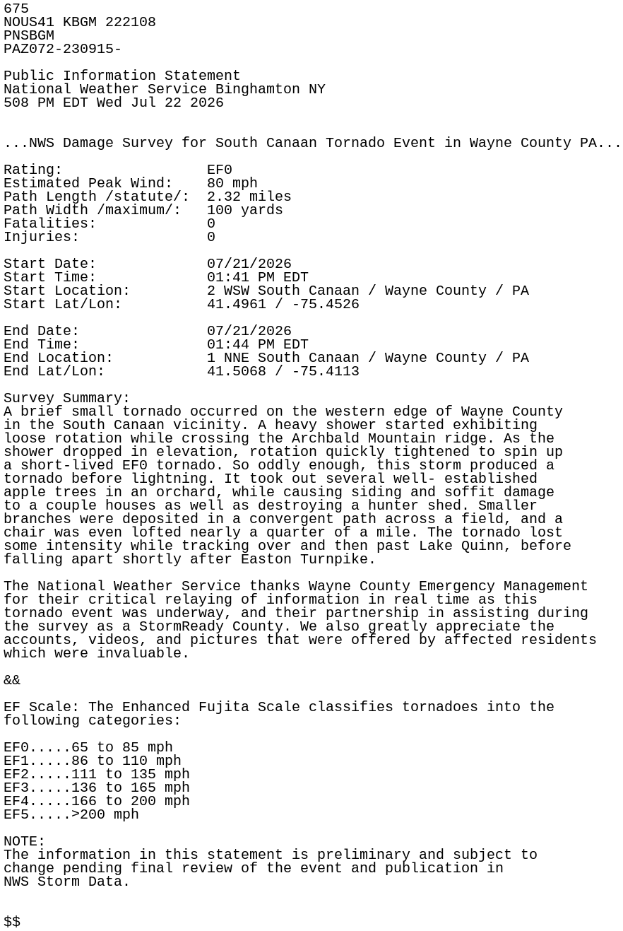
675
NOUS41 KBGM 222108
PNSBGM
PAZ072-230915-

Public Information Statement
National Weather Service Binghamton NY
508 PM EDT Wed Jul 22 2026


...NWS Damage Survey for South Canaan Tornado Event in Wayne County PA...

Rating:                 EF0
Estimated Peak Wind:    80 mph
Path Length /statute/:  2.32 miles
Path Width /maximum/:   100 yards
Fatalities:             0
Injuries:               0

Start Date:             07/21/2026
Start Time:             01:41 PM EDT
Start Location:         2 WSW South Canaan / Wayne County / PA
Start Lat/Lon:          41.4961 / -75.4526

End Date:               07/21/2026
End Time:               01:44 PM EDT
End Location:           1 NNE South Canaan / Wayne County / PA
End Lat/Lon:            41.5068 / -75.4113

Survey Summary:
A brief small tornado occurred on the western edge of Wayne County
in the South Canaan vicinity. A heavy shower started exhibiting
loose rotation while crossing the Archbald Mountain ridge. As the
shower dropped in elevation, rotation quickly tightened to spin up
a short-lived EF0 tornado. So oddly enough, this storm produced a
tornado before lightning. It took out several well- established
apple trees in an orchard, while causing siding and soffit damage
to a couple houses as well as destroying a hunter shed. Smaller
branches were deposited in a convergent path across a field, and a
chair was even lofted nearly a quarter of a mile. The tornado lost
some intensity while tracking over and then past Lake Quinn, before
falling apart shortly after Easton Turnpike.

The National Weather Service thanks Wayne County Emergency Management
for their critical relaying of information in real time as this
tornado event was underway, and their partnership in assisting during
the survey as a StormReady County. We also greatly appreciate the
accounts, videos, and pictures that were offered by affected residents
which were invaluable.

&&

EF Scale: The Enhanced Fujita Scale classifies tornadoes into the
following categories:

EF0.....65 to 85 mph
EF1.....86 to 110 mph
EF2.....111 to 135 mph
EF3.....136 to 165 mph
EF4.....166 to 200 mph
EF5.....>200 mph

NOTE:
The information in this statement is preliminary and subject to
change pending final review of the event and publication in
NWS Storm Data.


$$