National Weather Service Text Product
AFOS product SVRDMX
Dates interpreted at 00:00 UTCDisplaying AFOS PIL: SVRDMX
Product Timestamp: 2025-04-29 02:52 UTC
Bulk Download
Bulk Download Help
This bulk download tool provides the NWS text
in a raw form, hopefully directly usable by your processing system.
You can either provide a complete 6-character PIL/AFOS ID or provide
the 3-character base ID (e.g., AFD). The start and end
dates represent 00 UTC for those dates. The Zip format is useful as
the filenames will have the product timestamp, which is useful for
when the product format has ambiguous timestamps.
990
WUUS53 KDMX 290252
SVRDMX
IAC015-169-290330-
/O.NEW.KDMX.SV.W.0083.250429T0252Z-250429T0330Z/
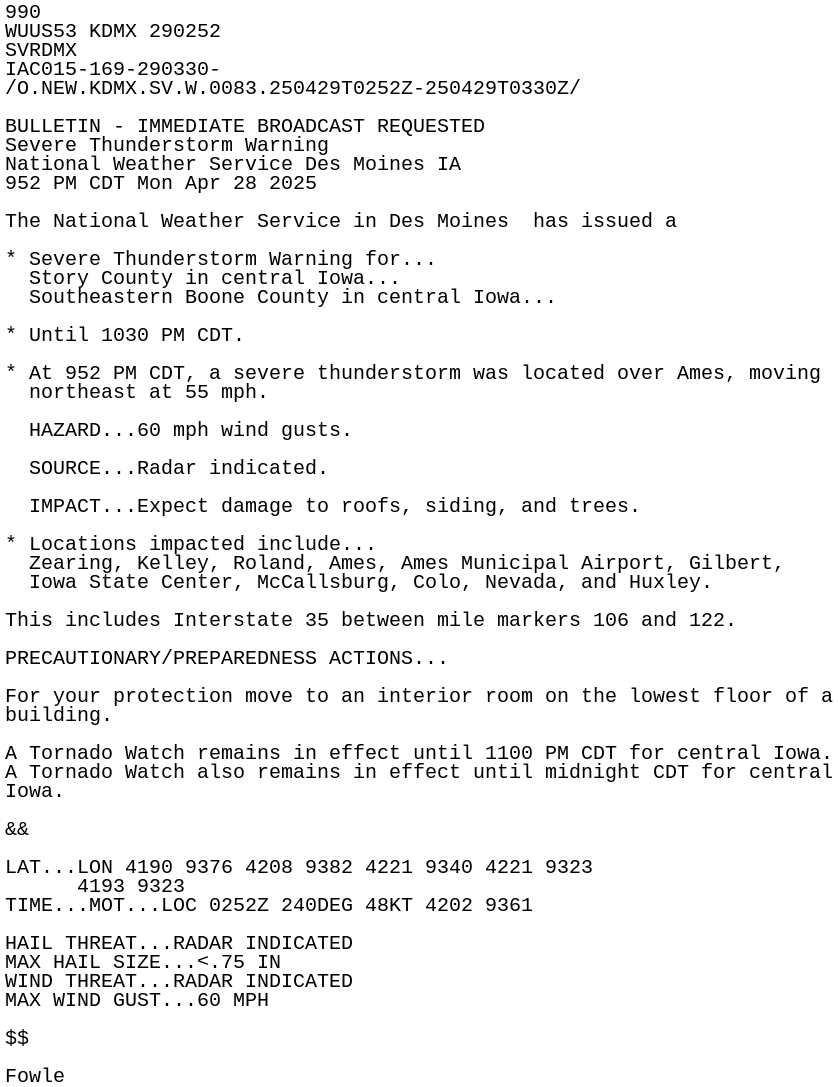
BULLETIN - IMMEDIATE BROADCAST REQUESTED
Severe Thunderstorm Warning
National Weather Service Des Moines IA
952 PM CDT Mon Apr 28 2025
The National Weather Service in Des Moines has issued a
* Severe Thunderstorm Warning for...
Story County in central Iowa...
Southeastern Boone County in central Iowa...
* Until 1030 PM CDT.
* At 952 PM CDT, a severe thunderstorm was located over Ames, moving
northeast at 55 mph.
HAZARD...60 mph wind gusts.
SOURCE...Radar indicated.
IMPACT...Expect damage to roofs, siding, and trees.
* Locations impacted include...
Zearing, Kelley, Roland, Ames, Ames Municipal Airport, Gilbert,
Iowa State Center, McCallsburg, Colo, Nevada, and Huxley.
This includes Interstate 35 between mile markers 106 and 122.
PRECAUTIONARY/PREPAREDNESS ACTIONS...
For your protection move to an interior room on the lowest floor of a
building.
A Tornado Watch remains in effect until 1100 PM CDT for central Iowa.
A Tornado Watch also remains in effect until midnight CDT for central
Iowa.
&&
LAT...LON 4190 9376 4208 9382 4221 9340 4221 9323
4193 9323
TIME...MOT...LOC 0252Z 240DEG 48KT 4202 9361
HAIL THREAT...RADAR INDICATED
MAX HAIL SIZE...<.75 IN
WIND THREAT...RADAR INDICATED
MAX WIND GUST...60 MPH
$$
Fowle