National Weather Service Text Product
Displaying AFOS PIL: SPSJAX
Product Timestamp: 2020-10-13 07:45 UTC
Bulk Download Help
This bulk download tool provides the NWS text
in a raw form, hopefully directly usable by your processing system.
You can either provide a complete 6-character PIL/AFOS ID or provide
the 3-character base ID (e.g., AFD). The start and end
dates represent 00 UTC for those dates. The Zip format is useful as
the filenames will have the product timestamp, which is useful for
when the product format has ambiguous timestamps.
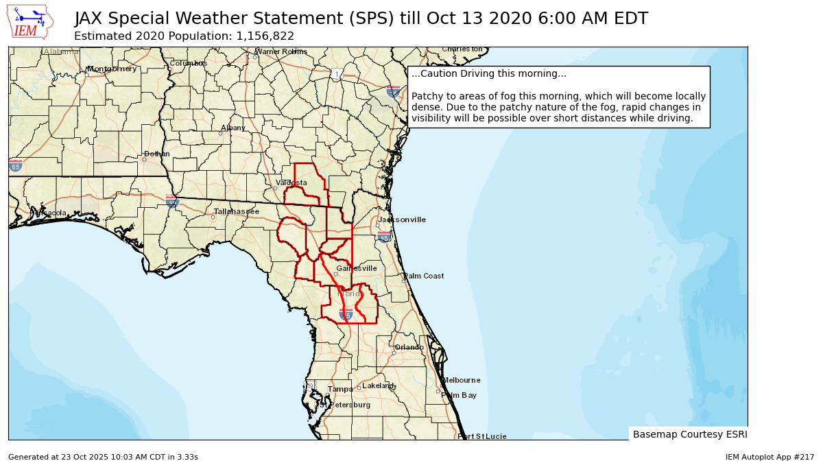
250
WWUS82 KJAX 130745
SPSJAX

Special Weather Statement
National Weather Service Jacksonville FL
345 AM EDT Tue Oct 13 2020

FLZ020-021-023-030-031-035-122-136-140-222-236-240-340-GAZ162-163-
131000-
Hamilton-Suwannee-Baker-Union-Bradford-Gilchrist-
Northern Columbia-Eastern Alachua-Eastern Marion-
Southern Columbia-Western Alachua-Central Marion-Western Marion-
Echols-Clinch-
Including the cities of Jasper, Jennings, West Lake, Belmont,
White Springs, Houston, Live Oak, McAlpin, Newburn,
Suwannee Springs, Macclenny, Olustee, Lake Butler, Starke,
New River, Trenton, Winfield, Suwannee Valley, Gainesville,
Gainesville Airport, Newnans Lake, Lynne, Moss Bluff, Columbia,
Lake City, Oleno State Park, Lulu, Watertown, High Springs,
Newberry, Archer, Anthony, Burbank, Ocala, Weirsdale,
Ocala Airport, Needmore, Statenville, and Homerville
345 AM EDT Tue Oct 13 2020

...Caution Driving this morning...

Patchy to areas of fog this morning, which will become locally
dense. Due to the patchy nature of the fog, rapid changes in
visibility will be possible over short distances while driving.

$$
Autoplot 217 generated the following image below. You may find more customization options , like removal of RADAR, for this image by visiting that autoplot.
