The IEM and NWS have enjoyed a long standing partnership. This partnership has collected a number of awards including a 2002 NWA Award and 2007 NOAA Award. We also worked together on the IEMChat Project, which was later rolled into the present day NWSChat Project.
Automated Data Plotting is a very deep rabbit hole with hundreds of plotting options for many datasets of NWS interest.
Daryl posts some interesting graphics to his akrherz.bsky.social page. Generally, these are one-off images that are not available for dynamic generation on this website.
Interest Areas
Precipitation Estimates/Observations
- Archived DCP Data Plotter
Simple app to plot out current/historical DCP (river gauges) data for a site of your choice. - Daily Climate Summary (AFOS: CLI Product) Interactive Map or Text Table
- CF6 Summary (AFOS: CF6 Product) Interactive Map or Text Table
- Daily COOP Observations
- Hourly Precipitation Summaries for ASOS
- IEM GIS Rainfall
Mostly Midwest products, but includes a conversion of MRMS to ERDAS Imagine Files. - MRMS Grib Archive
Archive of a handful MRMS products in Grib Format. The IEM archive page lists out additional MRMS archive resources. - Sortable Currents for ASOS, COOP, etc
Flood Warnings/Forecasts
Many of the apps in the "Severe Weather / VTEC" section are useful as well.
- HML based forecasts and observations
An archive of HML processed products is used to drive an interactive plot of forecasts and observations. - HML Processed Data Download
Download HML data for a site of your choice. - IEM Cow Polygon Verification
Application does LSR based verification of Flash Flood Warnings. - River Forecast Point Monitor
Summarizes FLS statements by River by WFO/State.
The Severe Weather Mainpage has more options listed.
Data / Realtime Monitoring
- GIS Shapefiles
of archived Storm Based Warning polygons. - IEMBot
Realtime chatrooms, twitter posting service, RSS feeds and more.
Special Weather Statements (SPS)
- SPS Polygon Download
Download shapefiles of SPSs. - SPS Search by Point
Search for SPSs by point. - SPS Text Download
Request raw SPS text over a period of your choice.
Maps and Graphics
- Days Since VTEC Product
Map of the number of days since a WFO issued a VTEC Product. - IEM Raccoon
Generate Microsoft Powerpoint of Storm Based Warnings for a WFO and RADAR site of your choice. - Number of VTEC Events by WFO
Map of the number of VTEC events by WFO for a time period of your choice. - NWS WWA Map Archive
The IEM saves the national watch, warning, and advisory (WWA) map every five minutes. - VTEC Browser
Interactive display of VTEC products. - VTEC Search by Point or County/Zone
Find issued VTEC WWA products by a given zone or county. Search for a storm based warning by point on a map.
Statistics / Metadata
- List SVR+TOR Warning Tags
This application will list tags used in Severe Thunderstorm and Tornado warnings by NWS Office by Year. - List Universal Geographic Codes (UGC) by WFO/State
- Number of VTEC Events by year
Table of the number of VTEC events by year. - VTEC Events by WFO or State by Year
Simple table listing any VTEC events by a given WFO or state for a given year. - Maximum VTEC EventID (ETN) by year
This diagnostic prints out the maximum issued VTEC eventid (ETN) by year. A useful diagnostic for a NWS Office wishing to check their local VTEC eventd database. - Tornado + Flash Flood Emergencies listing
Simple table showing IEM indicated Tornado and Flash Flood Emergency events. - Particularly Dangerous Situation Warnings
Simple table showing IEM indicated PDS Tornado / Flash Flood Warnings. - Summary Images of Daily Storm Based Warnings
Displays just the storm based warning geometries for one UTC day at a time. - Top 10 Polygon Sizes
Verification
- ASOS/AWOS Obs during WFO WWA
Prints out ASOS/AWOS observations during selected VTEC warning types. - Debug / Create Simple Graphic from LAT...LON text.
- IEM Cow
Interactive Storm Based Warning verification app
NWS Processed Datasets
Regional Temperature & Precipitation (RTP)
The IEM attempts to generate RTP products as the NWS has discontinued them.
- IEM Autoplot 256 generator tool.
- 0Z SHEF for Iowa
- 12Z SHEF for Iowa
- Monthly COOP Frequency Reports
Quantity of observations received by variable for the COOP network - Sortable Current COOP Reports
View today's COOP reports by WFO or by state. Includes derived frozen to liquid ratio and SWE reports.
- Archived DCP Data Plotter
Simple app to plot out current/historical DCP (river gauges) data for a site of your choice.
The IEM processes LSRs issued by the NWS in real-time. A number of applications on this website utilize this source of reports.
- NWS Damage Survey PNS Email List
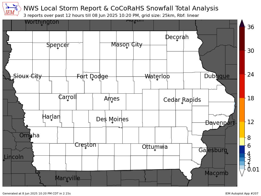
An email list that provides any NWS issued Damage Survey PNS statements. - LSR + COOP Snowfall Analysis Autoplot #207
Dynamic analysis of available LSR and COOP reports that is used to generate these static maps for: Iowa, Iowa map without labels, and Midwest. - Past 24 hours of Storm Reports
ESRI Shapefile, Comma Delimited, GeoJSON
The IEM parses the realtime feed of NWS Local Storm Reports. Every 5 minutes, a process collects up the last 24 hours worth of reports and dumps them to the above files. - Archived Local Storm Reports
Generate a shapefile of LSRs for a period of your choice dating back to 2003! - Local Storm Report App
- NEXRAD Storm Attributes
Download shapefiles of NEXRAD storm attribute data and view histogram summaries.
- Six Hour Snowfall Totals
Simple table of available 6 hour snowfall total reports.
- SPC Mesoscale Discussion Shapefile Download
- SPC Top 10 MCD Sizes
- SPC/WPC Outlook Shapefile Download
- SPC Top 10 Outlook Sizes
- SPC Watch Polygon Shapefile Download
- Convective Watches Information
Lists out some simple details on each convective watch. - List SPC Watches by Year
Lists out some simple details on all watches for a year. - Lists All SPC PDS Watches
Lists out watches tagged as Particularly Dangerous Situations (PDS). - SPC Outlook / MCD search by point
Allows answering of the question of when was a given point last under some convective outlook or the number of outlooks for a given point.
- WPC Precipitation Discussion Shapefile Download
- WPC National High Low Listing
- SPC/WPC Outlook Shapefile Download
- WPC Outlook / MPD search by point
Allows answering of the question of when was a given point last under some convective outlook or the number of outlooks for a given point.
- Model Output Statistics
Archive of MOS back to 3 May 2007. - HRRR MidWest 1km Reflectivity [animated GIF]
Animated GIF of HRRR Forecasted Reflectivity. Latest Run or Archived plots
Please visit this dedicated page for information about the IEM's text product archives.