ASOS Network
The Automated Surface Observing System (ASOS) is considered to be the flagship automated observing network. Located at airports, the ASOS stations provide essential observations for the National Weather Service (NWS), the Federal Aviation Administration (FAA), and the Department of Defense (DOD). The primary function of the ASOS stations are to take minute-by-minute observations and generate basic weather reports.[1]
Please see this Important News Item regarding wagering on ASOS temperatures.
Current ASOS Data:
- Sortable Current Conditions
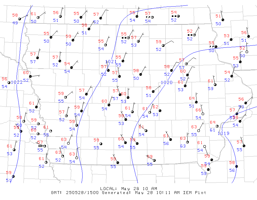
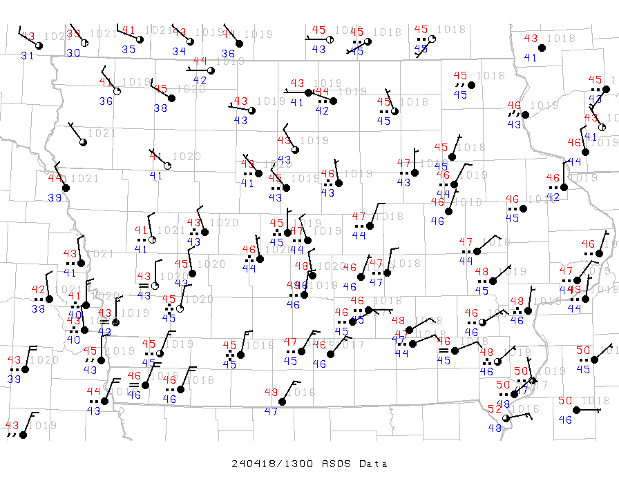
- Combined Mesonet
- ASOS Mesonet
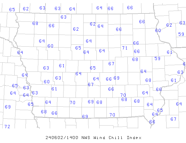
- Wind Chill Index
- Recent Interesting METAR Reports
- Relative Humidity
1 Minute Archive:
The National Center for Environmental Information (NCEI) provides an archive of one minute interval observations from many US ASOS sites back to the year 2000. This archive is available here, but in a terrible format! The IEM makes a best-guess effort at processing the mostly undocumented data format and updates the archive daily. This dataset is not realtime and is delayed by 18-36 hours or more due to NCEI availability.
Data is available for some sites back to 2000.
Quality Control:
Historical Data:
- Download raw observations from the archive
- Hourly Precipitation tables
- Monthly Precipitation tables
- Download computed hourly precipitation totals
- Download computed daily summaries
- IEM Climodat has monthly/yearly summaries of precipitation and temperature.
Comparisons:
References:
1 Adapted from the ASOS User's Guide
- All Weather Precipitation Gauge install dates.