The Iowa Environmental Mesonet (IEM) collects environmental data from cooperating members with observing networks. The data are stored and made available on this website.


Expected Storm Motions
Posted: 30 Apr 2024 05:30 AM, Views: 749
When the NWS issues tornado and severe thunderstorm warnings, they include a storm motion speed and direction (warning example). The featured chart summaries these storm motion vectors for tornado warnings issued by NWS Des Moines since mid 2007 (inception of implementation of this encoding). The warnings for the recent tornado outbreak on Friday are denoted with red crosses. The tricky part with understanding this plot is the storm motion direction. A value of south indicates a south to north movement or one might say "from the south". Anyway, the storm motions on Friday were mostly within the most common direction and speed combinations, that being about 40 MPH from the southwest.
Previous Years' Features
16 April NWS Data Outage [resolved]
Posted: 16 Apr 8:53 AM
15 April NWS Website Outage [resolved]
Posted: 15 Apr 9:54 PM
15 April GOES Outage [resolved]
Posted: 15 Apr 10:52 AM
3 April NWS Data Outage
Posted: 3 Apr 1:08 PM
2 April NWS Data Outage
Posted: 2 Apr 8:40 AM
Sign up for the Daily Bulletin
Soil Temperatures

Data from the Iowa State Soil Moisture Network is found on this website and daily soil temperature averages are used to produce the highlighted analysis.
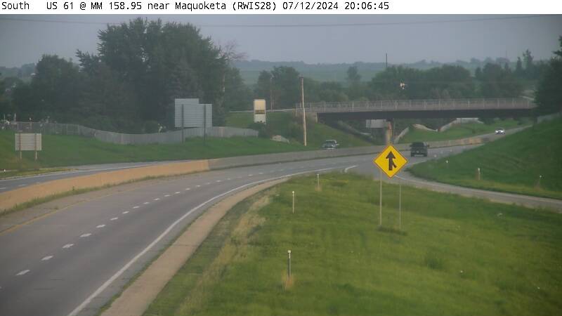
Current Data
The IEM combines data from participating networks into products like maps shown above and web applications to analyze the data.
Partners: