National Weather Service Text Product
AFOS product LSRJAX
Dates interpreted at 00:00 UTCDisplaying AFOS PIL: LSRJAX
Product Timestamp: 2013-06-07 22:12 UTC
Bulk Download
Bulk Download Help
This bulk download tool provides the NWS text
in a raw form, hopefully directly usable by your processing system.
You can either provide a complete 6-character PIL/AFOS ID or provide
the 3-character base ID (e.g., AFD). The start and end
dates represent 00 UTC for those dates. The Zip format is useful as
the filenames will have the product timestamp, which is useful for
when the product format has ambiguous timestamps.
766
NWUS52 KJAX 072212
LSRJAX
PRELIMINARY LOCAL STORM REPORT...CORRECTED
NATIONAL WEATHER SERVICE JACKSONVILLE FL
612 PM EDT FRI JUN 07 2013
..TIME... ...EVENT... ...CITY LOCATION... ...LAT.LON...
..DATE... ....MAG.... ..COUNTY LOCATION..ST.. ...SOURCE....
..REMARKS..
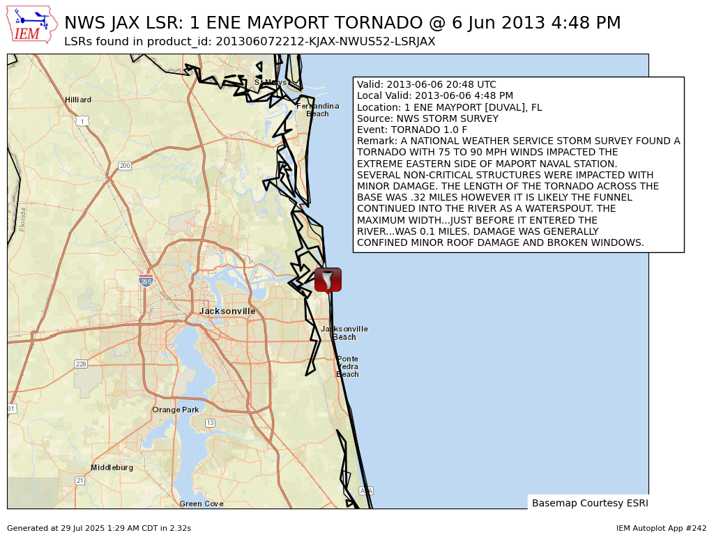
0448 PM TORNADO 1 ENE MAYPORT 30.39N 81.40W
06/06/2013 F1 DUVAL FL NWS STORM SURVEY
A NATIONAL WEATHER SERVICE STORM SURVEY FOUND A TORNADO
WITH 75 TO 90 MPH WINDS IMPACTED THE EXTREME EASTERN SIDE
OF MAPORT NAVAL STATION. SEVERAL NON-CRITICAL STRUCTURES
WERE IMPACTED WITH MINOR DAMAGE. THE LENGTH OF THE
TORNADO ACROSS THE BASE WAS .32 MILES HOWEVER IT IS
LIKELY THE FUNNEL CONTINUED INTO THE RIVER AS A
WATERSPOUT. THE MAXIMUM WIDTH...JUST BEFORE IT ENTERED
THE RIVER...WAS 0.1 MILES. DAMAGE WAS GENERALLY CONFINED
MINOR ROOF DAMAGE AND BROKEN WINDOWS.
&&
$$
SANDRIK