National Weather Service Raw Text Product
Displaying AFOS PIL: HWOGRR Received: 2019-04-15 07:35 UTC
Previous in Time Latest Product Next in Time
View All KGRR Products for 15 Apr 2019 View All HWO Products for 15 Apr 2019 View As Image Download As Text
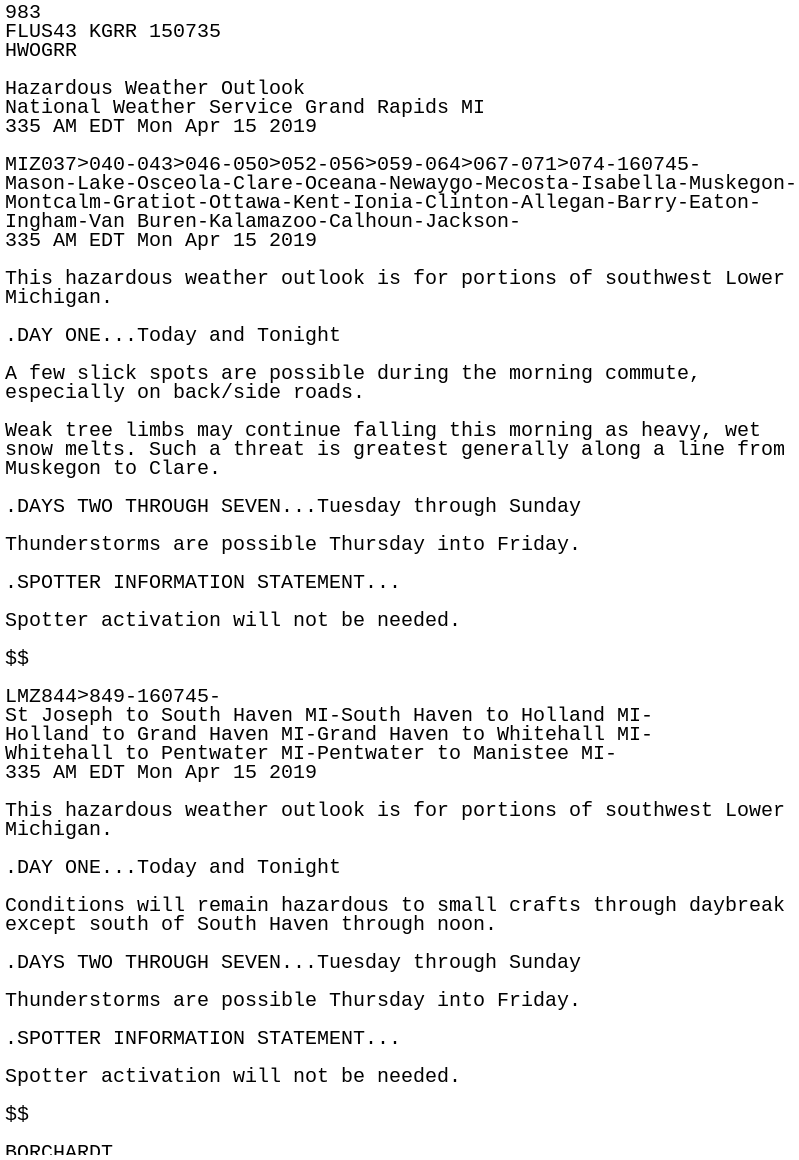
983
FLUS43 KGRR 150735
HWOGRR

Hazardous Weather Outlook
National Weather Service Grand Rapids MI
335 AM EDT Mon Apr 15 2019

MIZ037>040-043>046-050>052-056>059-064>067-071>074-160745-
Mason-Lake-Osceola-Clare-Oceana-Newaygo-Mecosta-Isabella-Muskegon-
Montcalm-Gratiot-Ottawa-Kent-Ionia-Clinton-Allegan-Barry-Eaton-
Ingham-Van Buren-Kalamazoo-Calhoun-Jackson-
335 AM EDT Mon Apr 15 2019

This hazardous weather outlook is for portions of southwest Lower
Michigan.

.DAY ONE...Today and Tonight

A few slick spots are possible during the morning commute,
especially on back/side roads.

Weak tree limbs may continue falling this morning as heavy, wet
snow melts. Such a threat is greatest generally along a line from
Muskegon to Clare.

.DAYS TWO THROUGH SEVEN...Tuesday through Sunday

Thunderstorms are possible Thursday into Friday.

.SPOTTER INFORMATION STATEMENT...

Spotter activation will not be needed.

$$

LMZ844>849-160745-
St Joseph to South Haven MI-South Haven to Holland MI-
Holland to Grand Haven MI-Grand Haven to Whitehall MI-
Whitehall to Pentwater MI-Pentwater to Manistee MI-
335 AM EDT Mon Apr 15 2019

This hazardous weather outlook is for portions of southwest Lower
Michigan.

.DAY ONE...Today and Tonight

Conditions will remain hazardous to small crafts through daybreak
except south of South Haven through noon.

.DAYS TWO THROUGH SEVEN...Tuesday through Sunday

Thunderstorms are possible Thursday into Friday.

.SPOTTER INFORMATION STATEMENT...

Spotter activation will not be needed.

$$

BORCHARDT