Link: https://mesonet.agron.iastate.edu/GIS/goes.phtml
For many moons now, the IEM has been providing various GIS services containing GOES East / West imagery. This imagery was based on GINI-format processing. The "East" and "West" signify two satellites that are geo-stationary over the eastern US and western US respectively.
The GOES "East" satellite got recently replaced by a newly launched satellite and the format of data it produces is different, much larger, and more computationally expensive to process than the previous GINI files. So the GOES East services provided by the IEM were discontinued.
We have gotten a number of inquires about this situation and I apologize for not communicating this change well on the website. Perhaps, we can stand up some services in the future, but at this point there is no clear research need nor funding stream to support updated computer resources. Besides, there are others out there providing better services than what the IEM did.
The current suggestion is to check out the RealEarth API for similar services and much more than what was offered here.
Later this year, GOES-S will be launched and replace the current satellite at the "West" position. When this happens, we'll remove the various goes-west services.
As always, let us know of questions!
Link: http://mesonet.agron.iastate.edu/GIS/goes.phtml
The IEM processes GINI formatted GOES satellite imagery into more accessible PNG files and maintains an archive of these processed files. A problem was discovered with the archive of these images since 18 March 2015. The PNG files were saved as 16 bit unsigned ints instead of 8 bit. This causes the image to be 'blank' for most applications that view PNG images, but not for many GIS software packages which is why I did not immediately notice the troubles!
Anyway, a process is now running to repair these files and I'll update this news item once completed.
Update 9 AM 6 Oct: The repair script has completed. Please let us know if you encounter bad data.
Link: http://mesonet.agron.iastate.edu/GIS/goes.phtml
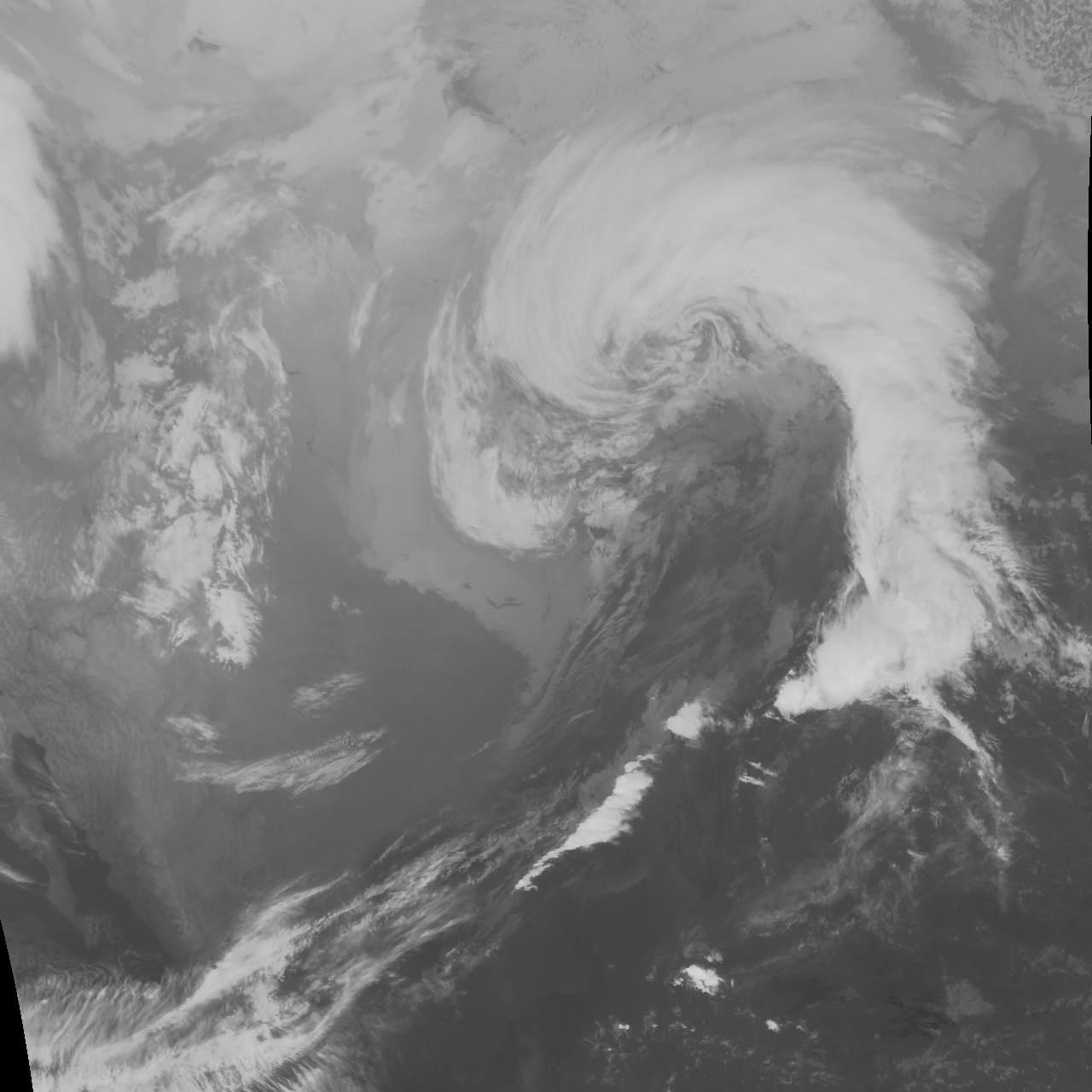
The IEM's processes the GOES imagery provided by the National Weather Service into more GIS friendly formats and web services. Up until today, this processing used a simply gray scale for all satellite products. For an initial change to gauge reaction, I have changed the infrared imagery to be color enhanced. For example:
Before
After
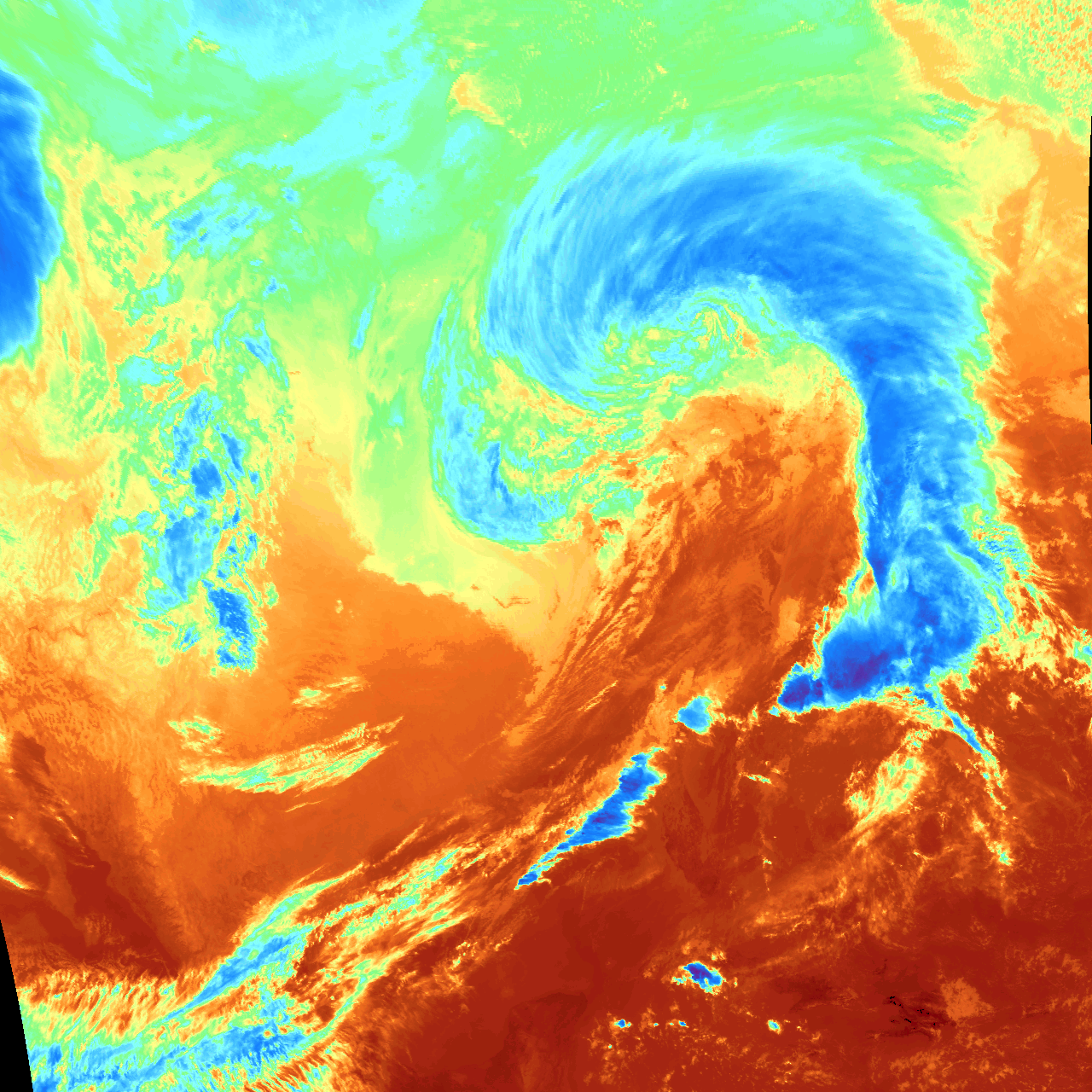
A simple color ramp for this enhancement is here:

So I shall see how much complaining this generates :)